What Is Geodesy? Surveying Services in Baku
Geodesy is the science and engineering discipline of precisely measuring the Earth’s surface, land plots and structures and determining their coordinates and heights.
Licensed service · EL-845/2026What is geodesy?
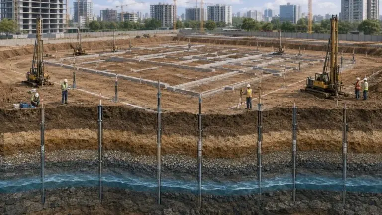
Geodesy is the science and engineering discipline that measures the shape and size of the Earth and determines the coordinates and heights of points on its surface. In everyday practice it means precise measurement of land plots, buildings, roads and utility lines, setting out designs on site and control surveys during construction. No serious construction, land division or engineering project is carried out without geodetic measurements.
Geodesy and topography
Topography is part of geodesy: it measures the terrain and the objects on it to produce topographic plans and maps. Geodesy is broader — it also covers coordinate systems, control networks, setting out, deformation and settlement monitoring and as-built surveys.
When are geodetic works needed?
- Before design: topographic survey, boundary and coordinate determination, engineering surveys.
- During construction: setting out building axes and levels, control measurements of foundations, frames and floors.
- After construction: as-built surveys, utility surveys, settlement and deformation monitoring of buildings and structures.
- Land and property: plot measurement and division, boundary point restoration and plans for documents.
Instruments
Modern surveys use GNSS RTK receivers, total stations, levels, 3D laser scanners and drones. Measurements are tied to the national grid, WGS-84 or UTM, and delivered in AutoCAD (DWG/DXF), GIS or BIM formats. Topoqraf AZ is the official SOUTH distributor in Azerbaijan, offering sales, rental and calibration of surveying equipment.
What affects the price?
The price depends on the area and terrain, the type of work, the required accuracy and scale, and the location. Send us the address and purpose of the work and our specialist will calculate the cost.
Why Topoqraf AZ?
Topoqraf AZ LLC is a Baku company holding a state licence (EL-845/2026) for engineering geodetic and engineering survey works. We work in Baku, Absheron and all regions of Azerbaijan with modern SOUTH equipment.