Projects

Mobile Laser Scanning of a Foothill Plot in Ismayilli

Mobile Laser Scanning of a Foothill Plot in Ismayilli — 1
Mobile Laser Scanning of a Foothill Plot in Ismayilli — 2
Mobile Laser Scanning of a Foothill Plot in Ismayilli — 3
Mobile Laser Scanning of a Foothill Plot in Ismayilli — 4
Mobile Laser Scanning of a Foothill Plot in Ismayilli — 5

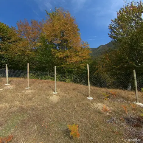
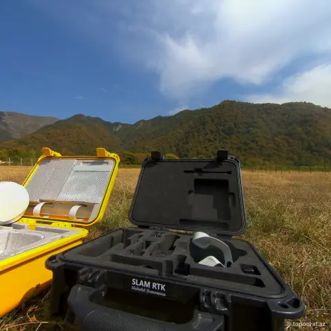
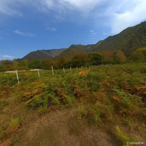
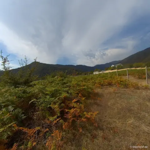
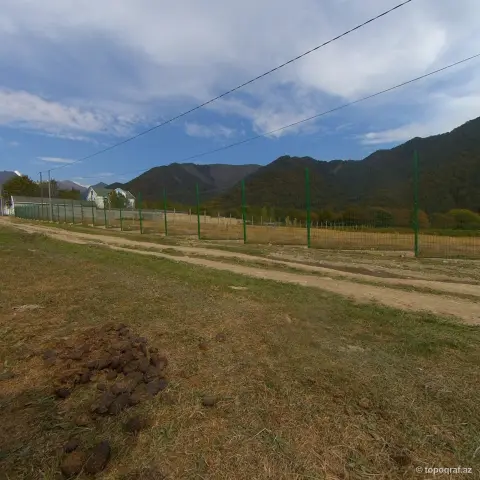
A foothill land plot in the Ismayilli district was captured with a mobile SLAM laser scanner. The operator walked the site while the device recorded the terrain, fences, road and retaining wall as a point cloud.

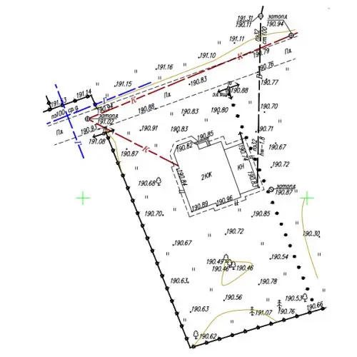
On sloping, vegetated ground this method speeds up the survey. The result is used to prepare a terrain model and a topographic plan.

You may also like

Contact us for new projects. Our professional team is always by your side!

whatsapp-avatar
Topoqraf Typically replies within 1 hour
Topoqraf.azVirtual assistant
Hello! I am the Topoqraf.az virtual assistant. You can ask me about our address, working hours, prices and services. To talk to a specialist, press «Contact an operator».
Call